Adam’s Peak Ranch

Doyle, California

$165,000 | 640 ± Acres | Lassen County

PROPERTY TYPE: Sold

PROPERTY DESCRIPTION:

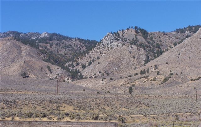
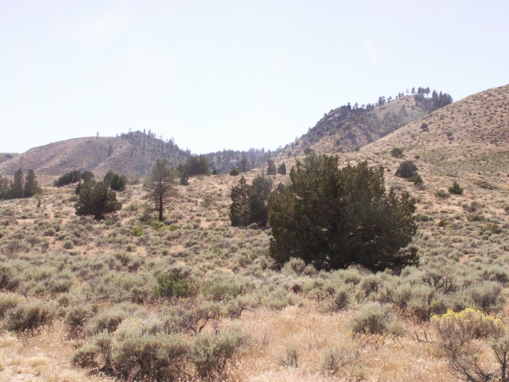
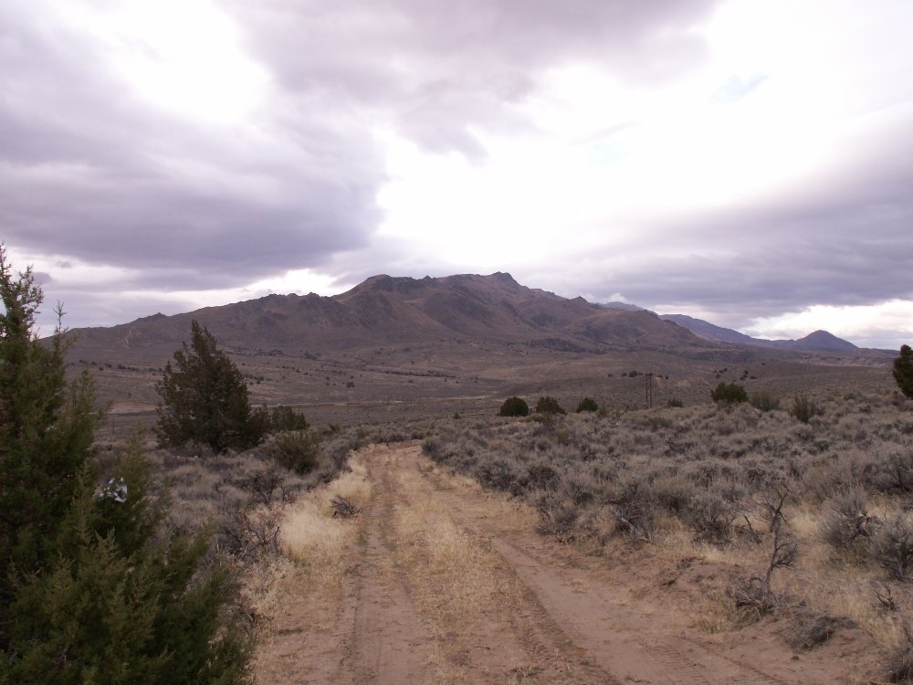
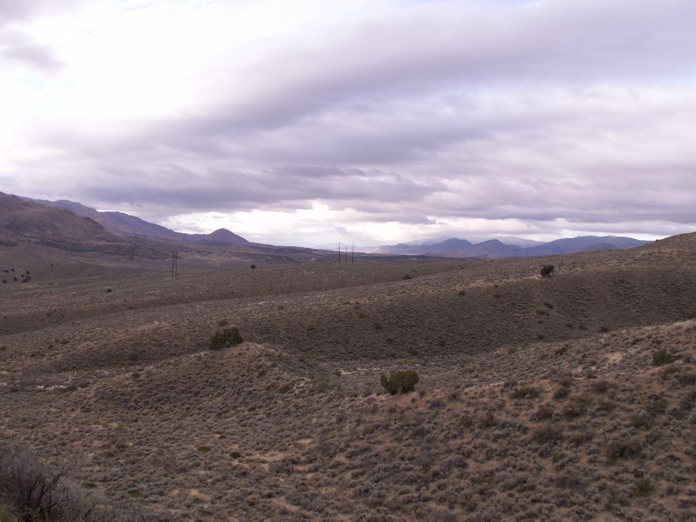
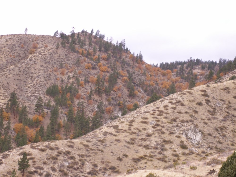
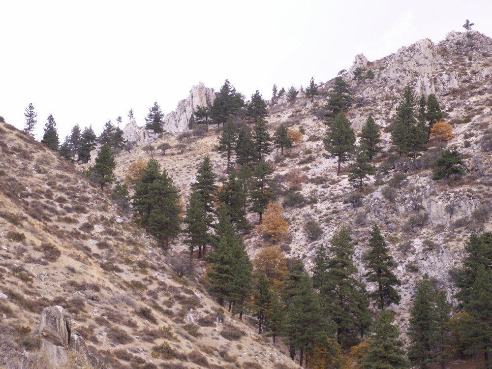
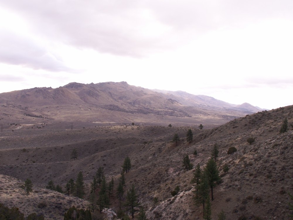
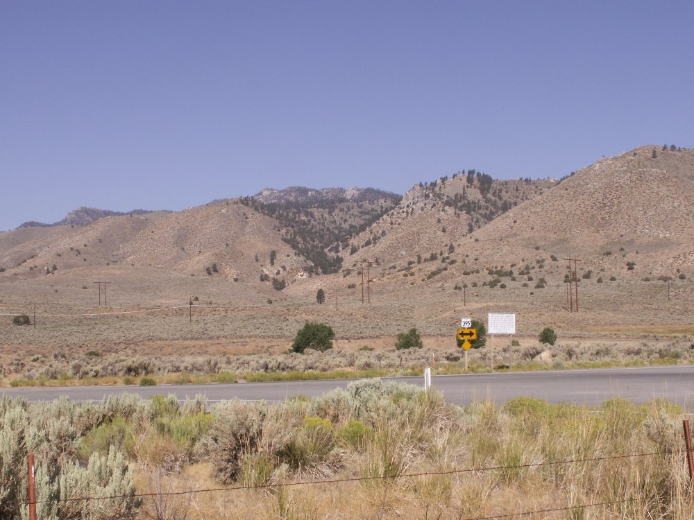
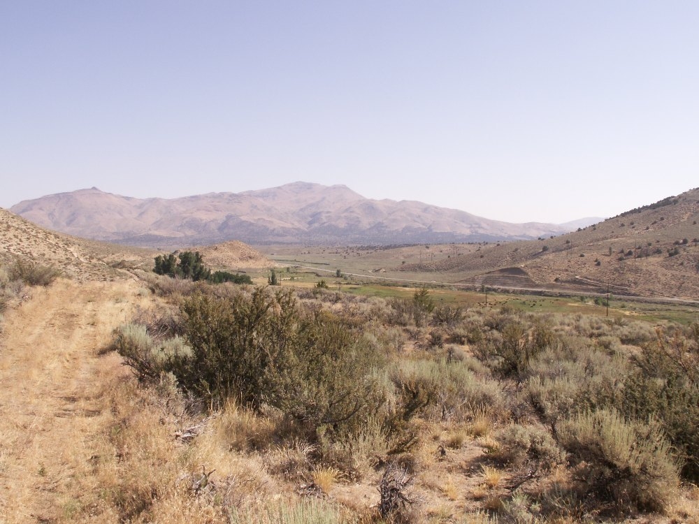
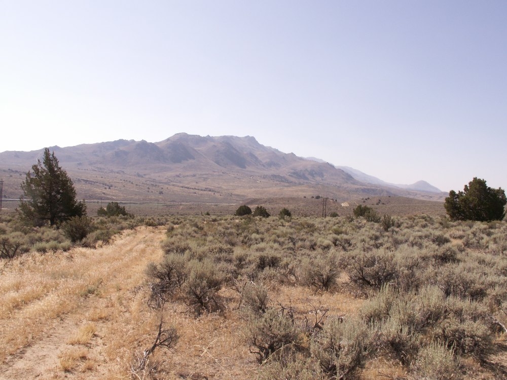
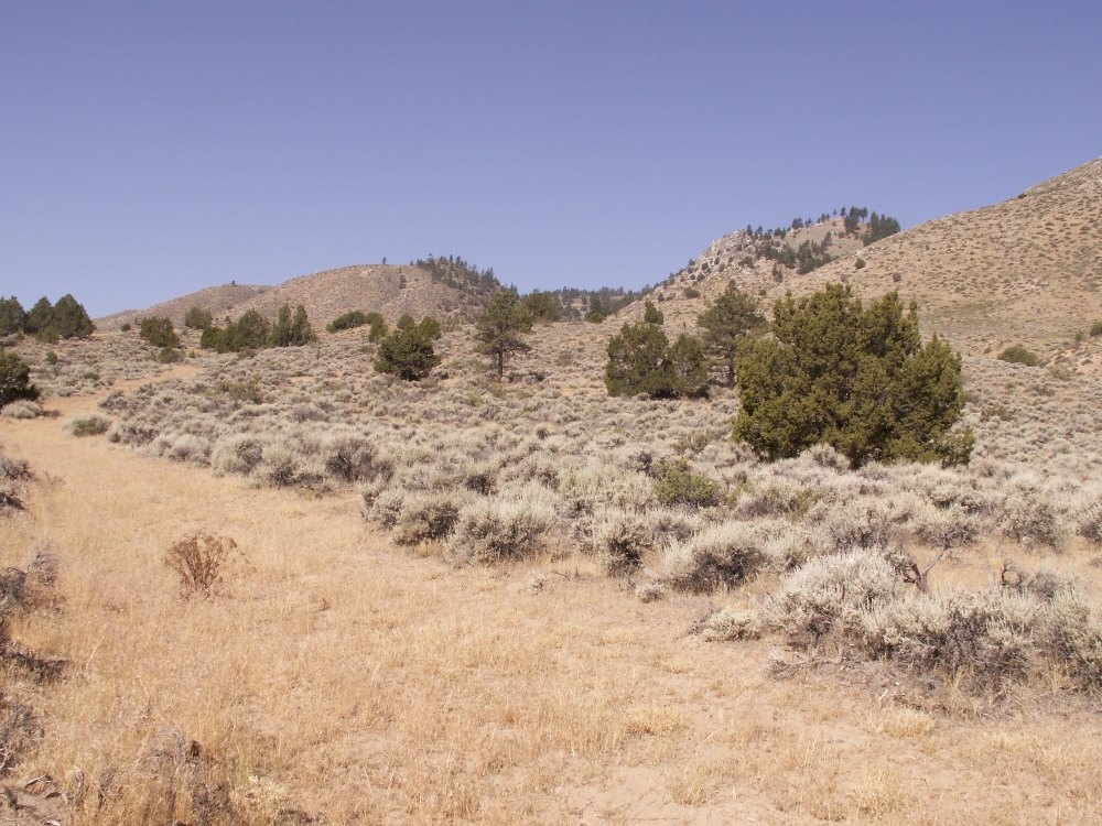
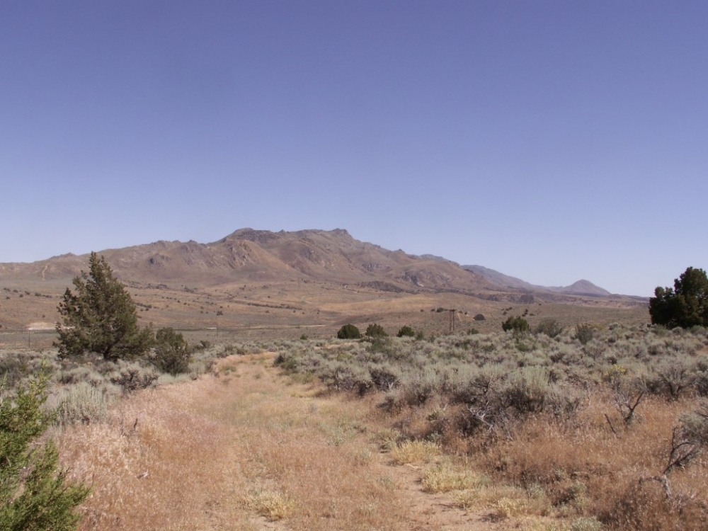
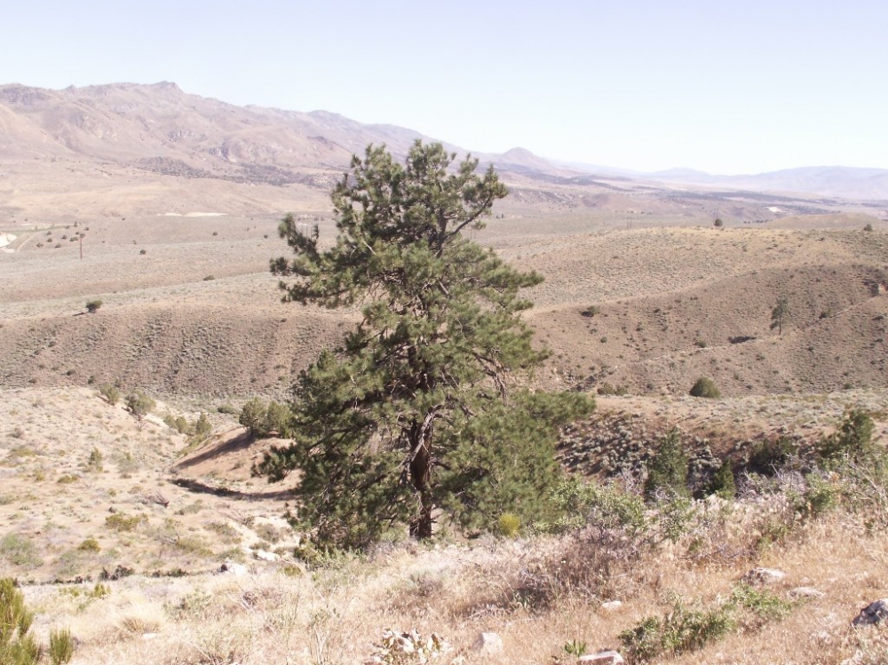
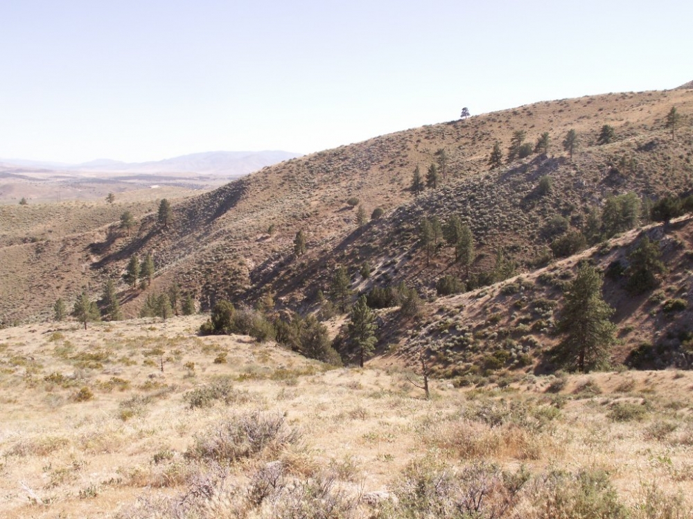
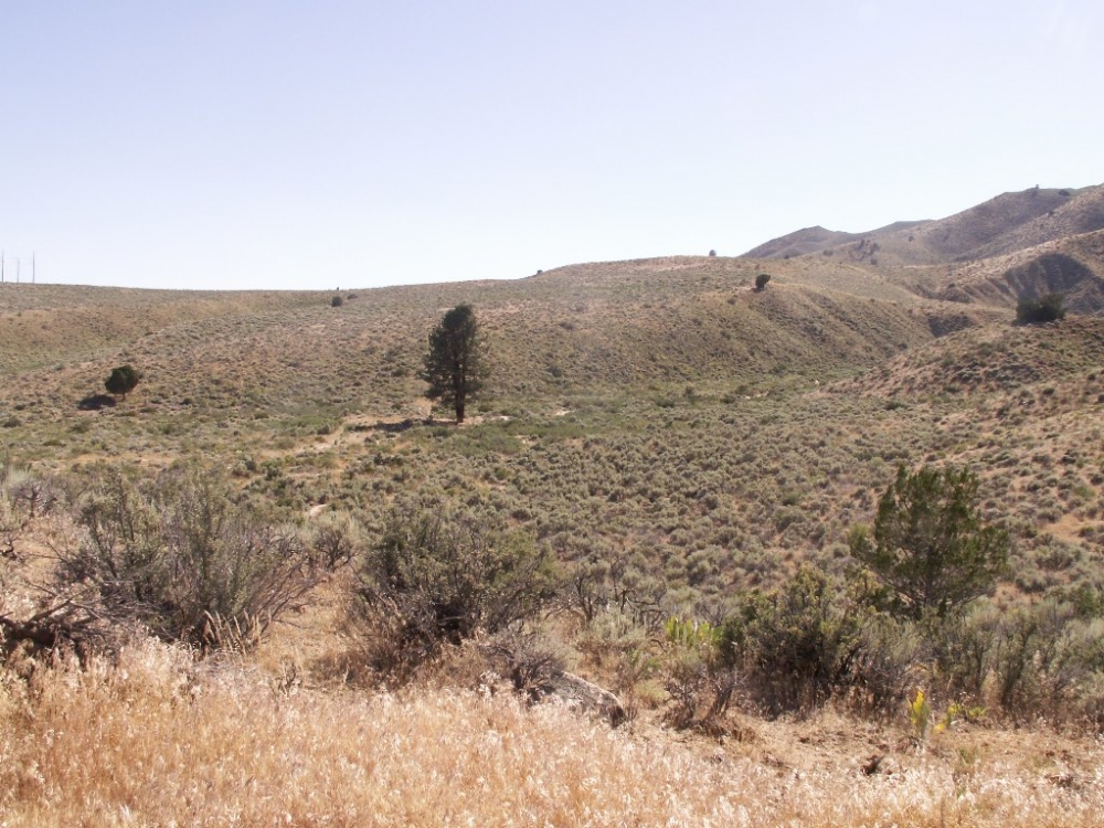
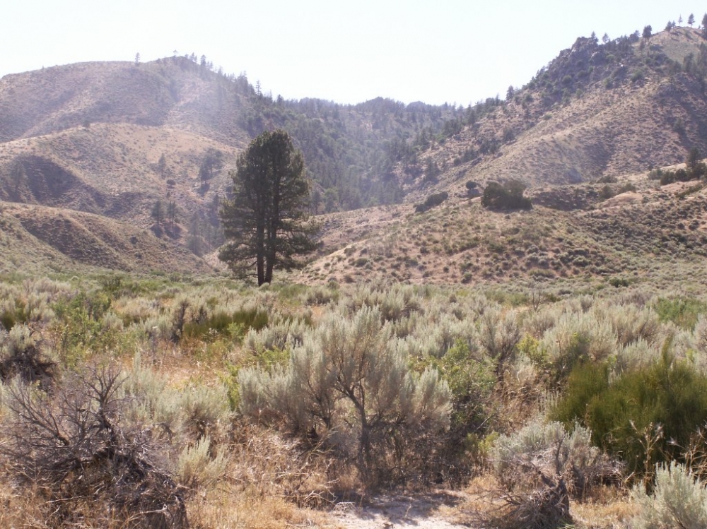
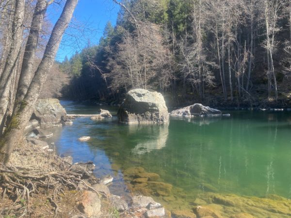
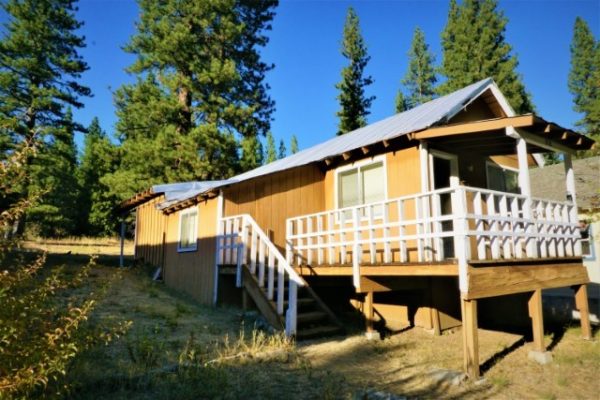
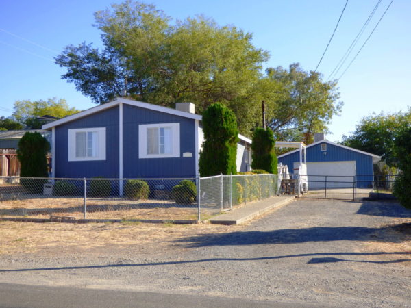
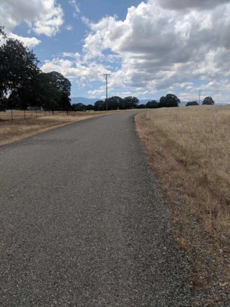
Ranch sits at 4600 foot elevation and rises to 6100 foot elevation. It is surrounded on two sides by BLM and backs into the Plumas National Forest. The ranch sits right below Adams peak that sits at 8197 ft elevation. The ranch offers outstanding views of the Petersen Mountains in Nevada and the Diamond mountain range. The owner states that the ranch is in a major deer migration route. The property qualifies for a land owner tag in the prestigious X6b zone. There is a little timber in the hills. The ranch goes from fairly level to very step in the hills. The property is zoned A-1(General Agriculture District). Single family dwelling, farm buildings and accessory buildings are allowed, as well as a hunting club or lodge. The ranch has a seasonal stream and the owner stated that it has good ground water. Zamboni Hot springs is less than a mile away. Long Valley Creek lies mile in front of the ranch and usually has a good flow in the early summer.

PROPERTY HIGHLIGHTS:
  • The ranch sits at 4600 foot elevation and rises to 6100 foot elevation.
  • It is surrounded on two sides by BLM and backs into the Plumas National Forest.
  • The ranch sits right below Adams peak that sits at 8197 ft elevation.
  • The ranch offers outstanding views of the Petersen Mountains in Nevada and the Diamond mountain range.
  • The owner states that the ranch is in a major deer migration route.
  • The property qualifies for a land owner tag in the prestigious X6b zone.
  • There is a little timber in the hills.
  • The ranch goes from fairly level to very step in the hills.
  • The property is zoned A-1(General Agriculture District).
  • Single family dwelling, farm buildings and accessory buildings are allowed, as well as a hunting club or lodge.
  • The ranch has a seasonal stream and the owner stated that it has good ground water.
  • Zamboni Hot springs is less than a mile away.
  • Long Valley Creek lies mile in front of the ranch and usually has a good flow in the early summer.
ADDRESS:

Highway 395
Doyle, California

COORDINATES:

40.0561500N, 120W

LOCATION/DIRECTIONS:
  • From Bordertown head north on Highway 395 for 18.4 miles.
  • Turn left on Scott Road (right after bridge you will see a California Outdoor Property sign).
  • Go 8/10s of a mile from the cattle guard and through the water from the Zambonie Hot Springs to a road to your right (you will see another California Outdoor Property sign).
  • Turn right and go 4/10s of a mile up the hill and under the Rail Road tressell (STAY STRAIGHT) and stick with the old road.
  • The roads on the north and south of tracks are firebreaks.
  • After 4/10s of a mile you should see a road forking off to the right.
  • Take this road for 8/10 of a mile to the north property line.
  • You'll see a California Outdoor Property sign.
  • The turns are marked with orange and blue flagging.
TAXES:

(Call Agent for Details)

USEFUL DOCUMENTS

Todd Renfrew
Todd Renfrew

Office: (707) 455-4444
Fax: (707) 455-0455

Contact Todd About Todd View All of Todd 's Listings

REQUEST A DETAILED BROCHURE FOR THIS PROPERTY
  • This field is for validation purposes and should be left unchanged.

MORE SEARCH RESULTS
Trinity River Lot 10 Acres

Trinity County, California
$159,000

318 Coates Ave

Sierra County, California
$89,000

1165 Thermalito

Butte County, California
$189,500

Janine Way Vacant Land

Tehama County, California
$97,500